What if you could start your day under live oaks, grab a coffee on a shaded square, then end it with sunset over the marsh? If you’re exploring a move to Savannah, you’re probably weighing the charm of the historic core against the pull of the coast. You want a clear picture of day-to-day life, not just pretty photos. In this guide, you’ll learn how different Savannah neighborhoods feel, what shapes local routines, and how to plan smart for costs, transit, and coastal realities. Let’s dive in.
How neighborhoods feel day to day
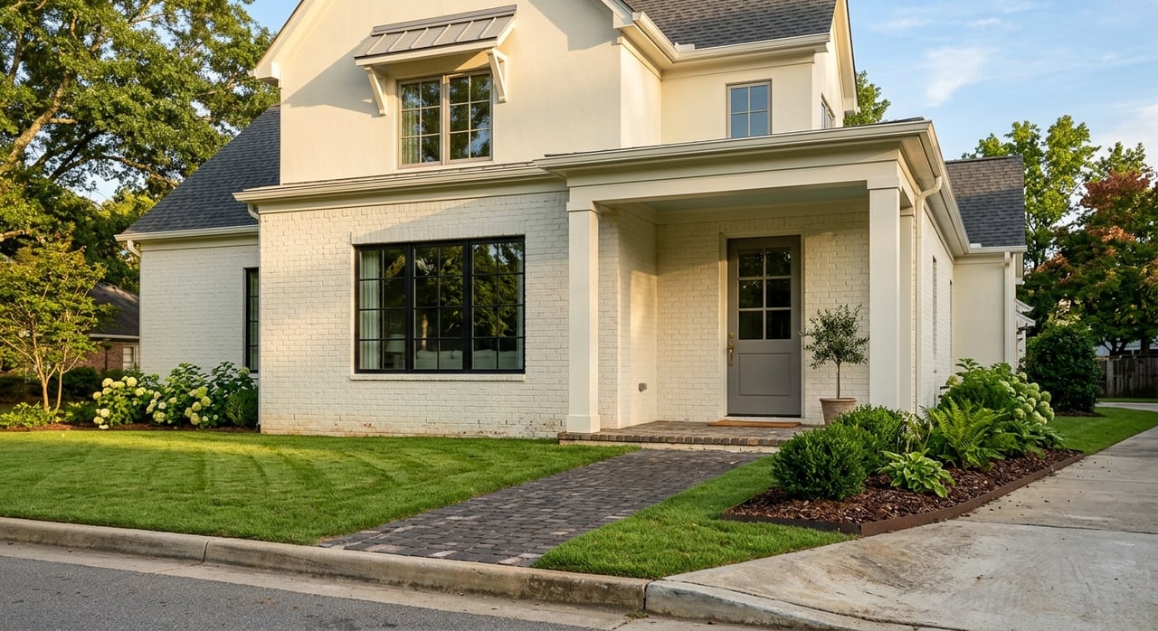
Historic District: squares, culture, and a lively pace
Savannah’s Landmark Historic District centers on a grid of 22 public squares that anchor everyday life. Residents use these green rooms for dog walks, coffee breaks, and shady shortcuts, which is a big part of the area’s appeal. You can read how the squares shape community life in the Project for Public Spaces overview.
Mornings and evenings feel local, with neighbors, students, and shopkeepers out and about. Midday and weekends bring more visitors, which adds energy and sometimes crowds. Riverfront corridors like River Street mix walkable scenery with active restaurants and shops, so you plan errands and dining times accordingly.
Practical note: The district is very walkable. Parking and exterior changes on historic homes often follow local guidelines and review, which affects daily logistics and renovation planning.
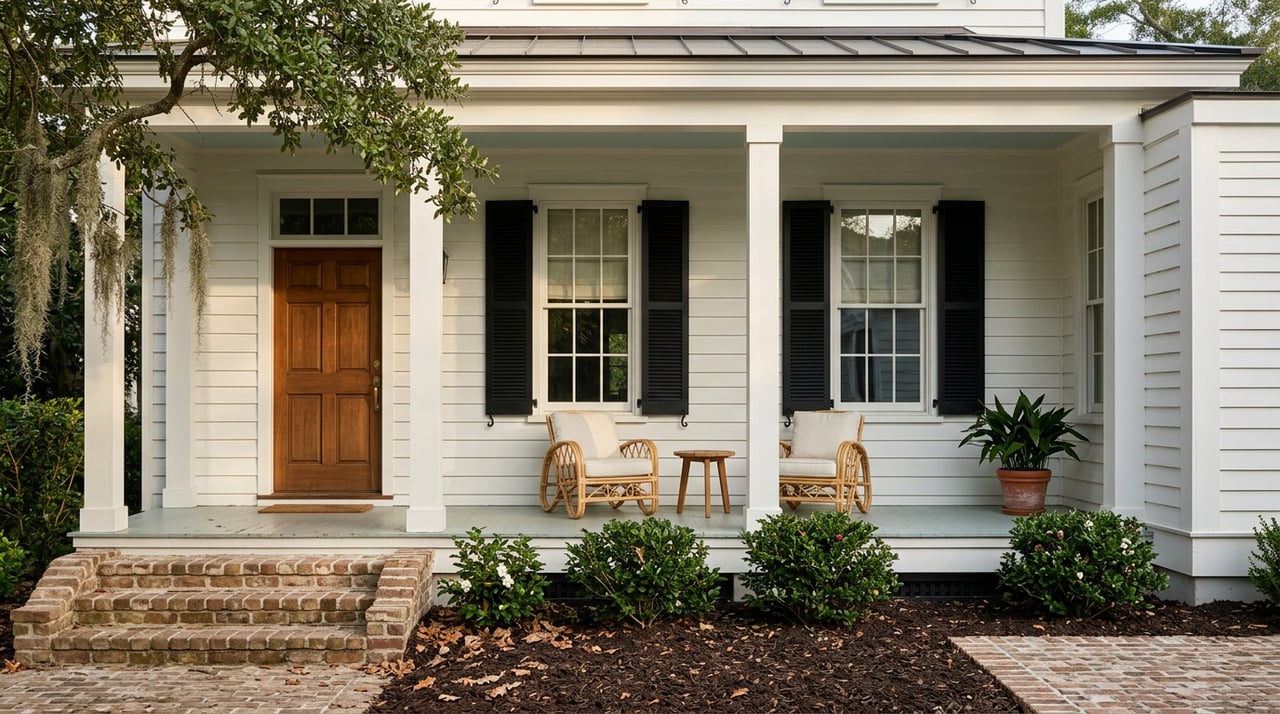
Midtown and older suburbs: tree-lined and easygoing
Neighborhoods like Ardsley Park and Chatham Crescent offer early-20th-century homes, sidewalks, and pocket parks. The vibe is residential and steady during the week, with short drives or bike rides to downtown shops and events. See a historic snapshot of these areas through the Historic Savannah Foundation’s overview of Ardsley Park–Chatham Crescent.
Nearby, the Starland area hosts artist-run venues and casual dining that pick up in the evenings. If you like historic character with a quieter pace than the core, these pockets often strike the right balance.
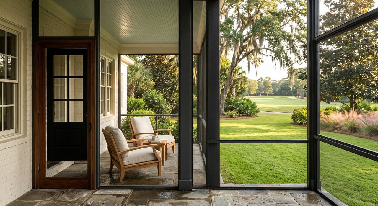
Coastal and island living: beach, marsh, and planning around tides
Tybee Island blends a residential community with a strong seasonal visitor pattern. Summer weekends can be busy, which shapes when you run errands, host guests, or head to the beach. The city’s site offers local context for services and regulations on the island at the City of Tybee Island.
Isle of Hope and the barrier islands east of downtown feel more residential and quiet, with beautiful river and marsh views. Daily routines sometimes account for tides, one-lane access in certain spots, and the potential for road closures during extreme high-water events.
Outer-city pockets: space and convenience by car
Areas near I-95 and the airport corridor trade walkability for larger yards, newer construction, and easier parking. Daily life is car-first, with 15 to 30 minute commutes into downtown depending on traffic. If you want newer homes and less tourist activity, these neighborhoods can fit well. You can confirm city boundaries and neighborhood names with the City of Savannah’s neighborhood map.
Architecture, preservation, and renovations
What you’ll see on your street
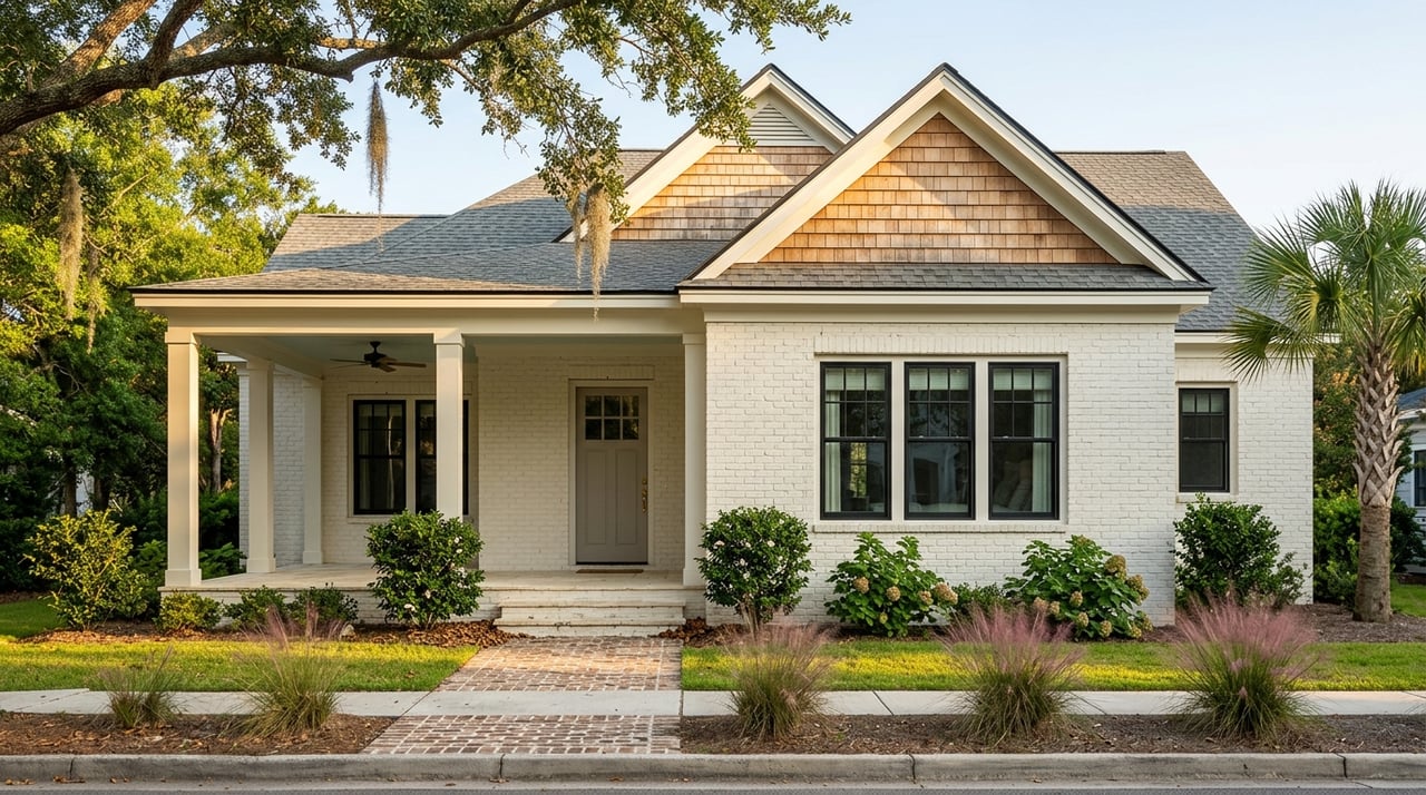
Savannah’s residential fabric layers Federal, Greek Revival, Italianate, Victorian, and Craftsman styles. That mix creates streetscapes with broad porches, narrow lanes, and brick or cobblestone details that set a distinct daily backdrop. For a quick primer on how these eras stack up, see the Georgia Encyclopedia’s architecture and preservation page.
How rules shape projects and timelines
Many historic neighborhoods have design review for exterior changes. Routine items like window replacements, porch repairs, or new materials often need approval, which adds time and planning to renovations. If you’re looking at a historic home, bookmark the Historic Savannah Foundation’s National Historic Landmark District page for context and links to guidelines. A good plan pairs design updates with compliance so projects move smoothly.
Getting around and key daily anchors
Transit and ferries
Chatham Area Transit runs fixed-route buses, a free downtown DOT circulator, and the Savannah Belles ferry across the river. These options make it practical to live car-light in the historic core, while outer neighborhoods remain car-oriented. Learn more about services and the downtown intermodal center at Chatham Area Transit.
SCAD’s citywide influence
Savannah College of Art and Design brings year-round activity to the core. Galleries, events, and student life increase daytime and evening foot traffic and support local businesses. SCAD’s published materials provide enrollment and campus context that help explain neighborhood rhythms, which you can explore in the SCAD Factbook.
Schools and health care
Public schools and higher education
Public K–12 is administered by the Savannah-Chatham County Public School System. If school routines are part of your decision, review attendance zones and choice or charter options directly with SCCPSS. Higher education anchors like SCAD, Savannah State University, and Georgia Southern’s Armstrong campus contribute to cultural life and steady rental demand across the city.
Hospitals and everyday peace of mind
Memorial Health University Medical Center serves as a major regional hospital, including emergency and pediatric care. Proximity is an important factor for many families and older buyers, so map your likely route and drive times. You can review services at Memorial Health’s emergency care page.
Costs, insurance, and coastal planning
Housing value baseline
As a conservative city-level reference point, U.S. Census QuickFacts shows a recent multi-year median value for owner-occupied units in the mid-$200,000s. Neighborhood prices vary widely by location and property type, so use this as a planning anchor only. See the latest city snapshot at Census QuickFacts for Savannah.
Flood risk, tides, and insurance
Sea-level rise and recurrent tidal flooding are active planning issues in coastal Georgia. Regional gauges near Fort Pulaski show measurable long-term increases, with a faster rise in recent years. You can get the big-picture context from NOAA-backed analysis on Climate.gov.
What it means for you: run any property’s address through FEMA tools and local flood viewers, and ask about current maps and mitigation programs. The City’s page on Flood Protection Information is a smart starting point. Expect that flood insurance may be required or advisable even outside the typical 1 percent annual chance zones. In coastal or riverfront areas, many owners plan for elevation work, strengthened foundations, or higher premiums as part of long-term budgeting.
Lifestyle rhythms through the seasons
Downtown life reflects a steady visitor economy, with the biggest spikes around major events. St. Patrick’s Day in mid-March brings citywide road closures, crowding, and later business hours for several days. SCAD and city festivals add cultural highlights that extend into weekday evenings. If you prefer quieter routines, plan errands and dining around these dates or choose neighborhoods with more residential patterns like Ardsley Park, Chatham Crescent, or the barrier islands outside peak season.
On Tybee, summer and holiday weekends shift daily life toward beach traffic and visitor schedules. Off-season months bring a calmer pace that many residents enjoy. If you value a predictable routine, build a shortlist that fits your tolerance for event days and tourist seasons.
Quick neighborhood snapshots
- Historic District near the squares: Walk to coffee, lunch on shaded benches, and after-dinner strolls under the oaks. Expect weekend visitors and limited parking.
- Forsyth Park and surrounding streets: Morning jogs, farmers market rhythms, and a close-knit daily feel with green space at your doorstep.
- Ardsley Park and Chatham Crescent: Tree-lined blocks, porch culture, and short drives to downtown dining without the tourist crowds.
- Starland and Victorian District: Historic homes with a creative streak, daytime studios, and casual evening spots.
- Isle of Hope and the eastern islands: River and marsh vistas, more residential patterns, and planning around tides during extreme events.
- Tybee Island: A beach-town rhythm with busy summer weekends, quiet shoulder seasons, and everyday beach access.
Relocation checklist
- Confirm neighborhood boundaries and test your daily routes for work, schools, and groceries. The City’s neighborhood map is a helpful reference.
- For any property, check flood exposure and insurance needs. Start with the City’s Flood Protection Information page, then verify with FEMA tools and local GIS.
- If the home is older, review local preservation guidelines and timelines. The Historic Savannah Foundation is a great resource.
- Use Census QuickFacts as a conservative city-level pricing anchor, then compare to current neighborhood comps with your agent.
- Map routes to health care and schools. Start with Memorial Health and SCCPSS for program and location details.
- Plan for tourism and events if you target the Historic District or Tybee. Adjust parking, deliveries, and dining around peak times.
- On the islands, account for seasonal traffic and tide-related delays in your daily scheduling.
Next steps
Everyday life in Savannah is a balance of history, art, and coastal living. The right fit depends on how you like to move through your day, how much seasonal energy you want around you, and how you plan for coastal realities. If you want help matching your routines to the right streets and homes, let’s talk. Schedule a free consultation with Lara Byrnside to narrow your shortlist and plan a smart, design-informed search.
FAQs
What does a typical weekday feel like in Savannah’s Historic District?
- Mornings and evenings feel local with residents and students out, while midday and weekends bring more visitors. The squares support daily routines with shaded walks and quick errands, as noted by the Project for Public Spaces.
How does coastal flooding affect daily life on Tybee or the islands?
- Residents often plan around tides and seasonal patterns. Long-term sea-level rise trends are documented by NOAA-backed research on Climate.gov, and the City’s Flood Protection Information page outlines local resources and planning tools.
Can you live car-light in Savannah?
- Yes in the historic core, thanks to sidewalks, a compact street grid, buses, the free DOT circulator, and the river ferry operated by Chatham Area Transit. Outer neighborhoods are more car-oriented.
How do preservation rules impact renovations on older homes?
- In designated historic areas, exterior work commonly needs review, which adds time and planning. The Historic Savannah Foundation provides context and links to guidelines so you can scope timeline and cost.
What’s a good baseline for home values in Savannah?
- City-level figures from Census QuickFacts show a recent multi-year median in the mid-$200,000s. Neighborhood prices vary, so confirm current comps and trends with your agent.